


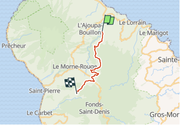

9,4 km | 14,9 km-effort


Utilisateur GUIDE


Application GPS de randonnée GRATUITE
 SityTrail
IGN / Instituts géographiques
SityTrail World
Le monde est à vous
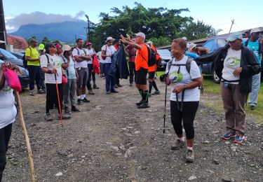
Randonnée A pied de 16,7 km à découvrir à Martinique, Inconnu, Le Lorrain. Cette randonnée est proposée par Lamartiniere.
Cette randonnée nécessite demande d'autorisation de passage obligatoire pour groupe Soleil.
Test pour le" Défi Ti Chimen" (Groupe Soleil)
Plateau Morne Capot, le Lorrain - Place Jules Pain, Fonds-St-Denis via le Bois Jourdan, environ 17 kms Descente vers Ecole maternelle et Eglise) arrivée Place Jules Pain.
Départ Groupe Etoile : Devant Socomor, direction Etablissement Source minérale Champflore, Centre des sourds et muets, Fonds-St-Denis, via Col Yang Ting, passage près école Maternelle puis église et arrivée Place Jules Pain.

Marche
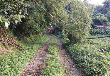
Marche
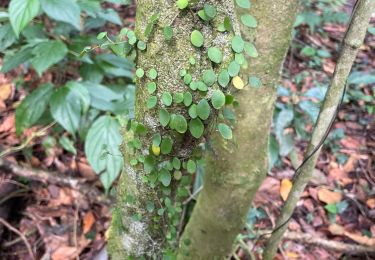
Marche

Marche
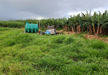
Marche
Marche
Marche

Marche
Marche